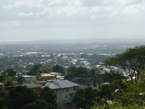
Info about Tunapuna, (Trinidad and Tobago)
It is also called Tunapuna, Tunapuna Village, its latitude is 10.6524500, and longitude is -61.3887800.
With 17.650 people, its timezone is America/Port_of_Spain (America/Port_of_Spain_cet).
Tunapuna is popular for nightlife, islands, kayaking, hunting, canoeing, valleys, gardens, docks, disco, parks, hiking, biking, historical sites, monuments, towers, farms, religious sites, nature, mountains, scenic roads, rivers, adventure, museums, natural places, national parks, adventure parks, events, forest, architectural buildings, ancient ruins, festival, walking trails, mosques, art galleries, countryside, swimming, hiking trails, water sports, boat rides, secret, running, churches, wildlife, nature reserves, wellness, clubs, off-road trails, trail running, fishing, walkways, shopping, statues in Trinidad and Tobago.
.
More details about Tunapuna in Trinidad and Tobago (TT)
Tunapuna elevation above mean sea level, also called meters above sea level (MASL), is 0 mt. For this this city is a perfect trip destination if you and partner like to do a sea travel.
Tunapuna things to do and activities: best trip destination for:
Interactive Tunapuna (Trinidad and Tobago) Map and attractions
Interactive map of Tunapuna, Trinidad and Tobago (TT).
