Info about Kerikeri, Northland (New Zealand)
Kerikeri region is Northland, with country New Zealand (NZ).
Other names for Kerikeri are KKE, kai li kai li, kelikeli, kerikeri, ケリケリ, 凯里凯里, 케리케리, latitude is -35.2267600, and its longitude is 173.9473900.
Its population is 6.960 inhabitants, this area timezone is Pacific/Auckland (Pacific/Auckland_cet).
Some of the activities you can do in Kerikeri are paddle, skydiving, parachute, historical sites, paddleboarding, gardens, trail running, monuments, kayaking, golf, nature, ancient ruins, spa, religious sites, wildlife, tennis, jet skiing, canoeing, natural places, swimming, forest, sailboats, ranches, horse trails, caves, surf, running, food, statues, docks in New Zealand.
.
More details about Kerikeri in New Zealand (NZ)
In Kerikeri there are 6.960 inhabitants, according to 2018 last census.
Kerikeri dimension is 25 sq. kilometers, so Kerikeri is very quiet city , a good solution for people that like quiet destinations for their location to sleep, a quiet place without distractions that you find in big urban areas. If you stay in this town you can save money due to its economic rooms prices, so for this reason you can use it like a base in order to visit all New Zealand or Kerikeri near adventures.
Its altitude above mean sea level, or meters above mean sea level (MAMSL) is over 0 meters. That’s why Kerikeri is an ideal destination when you and family want to watch the sea.
Kerikeri things to do and activities: best trip destination for:
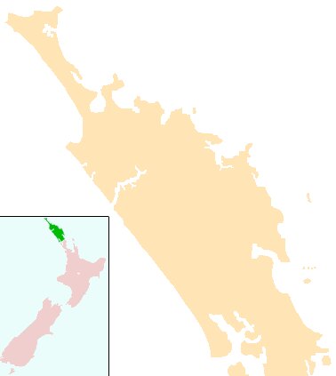
Interactive Kerikeri (New Zealand) Map and attractions
Interactive map of Kerikeri, Northland New Zealand (NZ).
