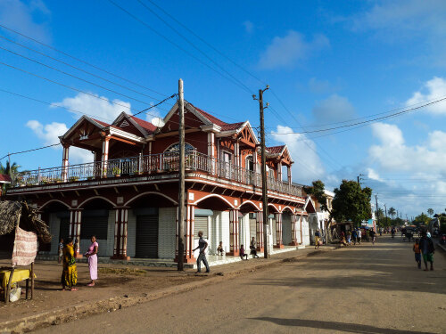
Info about Mananjary, Vatovavy Fitovinany Region (Madagascar)
Mananjary is a town in Vatovavy Fitovinany Region, Mananjary, Mananjary, in Madagascar (MG).
Also called MNJ, its latitude is -21.2303400, and its longitude is 48.3417300.
In Mananjary are settled 27.686 residents, Mananjary timezone is Indian/Antananarivo (Indian/Antananarivo_cet).
Mananjary is one of the top destinations for paddle, geological formations, paddleboarding, slopes, mines, valleys, lakes, docks in Madagascar.
.
More details about Mananjary in Madagascar (MG)
It is located in time zone UTC+03:00 (during standard time).
Mananjary meters above mean sea level, or meters above mean sea level (MAMSL), is 10 meters. For this reason it is an ideal place if you and your partner want sea places.
Mananjary things to do and activities: best trip destination for:
Interactive Mananjary (Madagascar) Map and attractions
Interactive map of Mananjary, Vatovavy Fitovinany Region Mananjary Madagascar (MG).
