Info about Koytendag, (Turkmenistan)
Koytendag is also called Carsanny, Charshanga, Charshangngy, Charshangu, Charshangy, Koytendag, Tscharschanga, Çarşaňňy, latitude is 37.5090000, and its longitude 66.0135800.
Koytendag is considered one of the best destinations for slopes, art galleries, climbing, scenic roads, nature reserves, mountains, hunting, hiking trails, caves, horse trails, desert, geological formations, walking trails, forest, hiking, museums, spa, aquariums, walkways, cathedrals in all Turkmenistan.
.
More details about Koytendag in Turkmenistan (TM)
It’s time zone is UTC+05:00 (during standard time).
Its meters above sea level or meters above mean sea level (MAMSL), is about 265 meters. Because of this it is the ideal travel destination if you and friends want plain ground to visit in your next vacation.
Koytendag things to do and activities: best trip destination for:
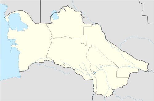
Interactive Koytendag (Turkmenistan) Map and attractions
Interactive map of Koytendag, Turkmenistan (TM).
