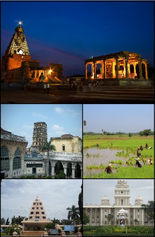
Info about Tanjore, State of Tamil Nādu (India)
Tanjore region is State of Tamil Nādu, with country India (IN).
Other names for Tanjore are TJV, Tanjavur, Tanjavûr, Tanjor, Tanjore, Tanjāvūr, Thanjavur, Thanjāvūr, Tkhandzhavur, tancavur, tancavuർ, tanjavura, tanjavuru, Тханджавур, तंजावुर, தஞ்சாவூர், തഞ്ചാവൂർ, タンジャーヴール, latitude is 10.7852300, and longitude 79.1390900.
In Tanjore there are 222.943 inhabitants, Tanjore timezone is Asia/Kolkata (Asia/Kolkata_cet).
Some of the things you can do if you travel to Tanjore are art galleries, spa, wellness, ancient ruins around India.
.
More details about Tanjore in India (IN)
It is the capital of Thanjavur Nayak kingdom.
In Tanjore there are 222.943 inhabitants, related to 2011 latest census. You need to call local people. You can use 4362 as local dialing code for calling local phone numbers. It’s zip code is 613001, this is why for sending postcards to friends on your tripyou can use 613001 zip as explained.
Tanjore dimension is 36 km2 so it is relatively relaxing city great location for trippers that are searching for relaxing places for an economic location to stay, a quiet area without loudness common in large metropolis. Here you can find cheap accommodations due to its economic rooms prices, and for this reason you may have it like your basecamp if you want to move across India and Tanjore near cities.
Its height above sea level, technically meters above mean sea level (MAMSL), is about 88 mt. That’s why this is the perfect place when you and family want flat ground to visit for your next holiday.
If you want more detailed information on Tanjore you can visit Tanjore official website http://www.municipality.tn.gov.in/thanjavur.
Tanjore things to do and activities: best trip destination for:
Interactive Tanjore (India) Map and attractions
Interactive map of Tanjore, State of Tamil Nādu India (IN).
