Info about El Rodeo, Departamento de San Marcos (Guatemala)
El Rodeo region is Departamento de San Marcos, in Guatemala (GT).
Other names for El Rodeo are El Rodeo, Rodeo, latitude is 14.9144700, and longitude is -91.9763100.
Its population is 14.125 natives, El Rodeo timezone is America/Guatemala (America/Guatemala_cet).
El Rodeo is a popular travel destination for golf, volcanoes in Guatemala.
.
More details about El Rodeo in Guatemala (GT)
El Rodeo has timezone UTC−06:00 (in standard time).
In El Rodeo there are 14.125 natives, according to 2002 latest census. You need to call local people. You can call phone numbers by dialing 502 as local dialing code. It’s zip code is 12014, so for sending postcards to your friends in El Rodeo this can be done by using 12014 zip as per description.
El Rodeo square area is 81 km2, so its a medium sized city, in our opinion a city worth a visit. If you stay here you can find cheap accommodations because of El Rodeo low housing prices, and this is why you can use El Rodeo like basecamp in order to move across Guatemala and El Rodeo near places.
Its height above mean sea level, also called meters above mean sea level (MAMSL), should be about 777 meters. That’s why this is an ideal place when you want high land to go to in your next holiday or are willing to do trekking if on a vacation abroad.
El Rodeo shares borders with beautiful cities like Catarina, San Marcos, San Rafael Pie de la Cuesta, El Tumbador, San Pablo, San Marcos, Chiapas. As those cities are very close you can in few time visit those near destinations to explore more Guatemala.
Its Patron is Joseph.
El Rodeo things to do and activities: best trip destination for:
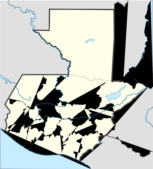
Interactive El Rodeo (Guatemala) Map and attractions
Interactive map of El Rodeo, Departamento de San Marcos Guatemala (GT).
