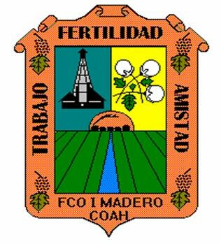
Info about Francisco I. Madero, Estado de Coahuila de Zaragoza (Mexico)
Francisco I. Madero is a region of Estado de Coahuila de Zaragoza, with country Mexico (MX).
Francisco I. Madero names are also Chavez, Chávez, Francisco I. Madero, Francisco Madero, its latitude is 25.7730000, and longitude -103.2712700.
In Francisco I. Madero are located 26.632 inhabitants, this area timezone is America/Monterrey (America/Monterrey_cet).
Francisco I. Madero is famous for activities like running, castles, cathedrals, historical sites in Mexico.
.
More details about Francisco I. Madero in Mexico (MX)
Its dimensions are 4933 sq. kilometers ideal for travelling to large cities, busy with a lot of things to do and activities to do. In this city you may find expensive accommodations due to its high rooms costs, and for this reason you may enjoy Francisco I. Madero like basecamp in order to find SPAs and Thermal baths tired by visiting the Francisco I. Madero.
Francisco I. Madero height above sea level, called also meters above mean sea level (MAMSL) is around 1103 meters. That is why this is the perfect destination when you and family want tall areas to go to in your next holiday and want to do trail while tripping to visit new places.
If you’re looking for information for this city please check its official webpage http://www.fimcoahuila.gob.mx.
Francisco I. Madero things to do and activities: best trip destination for:
Interactive Francisco I. Madero (Mexico) Map and attractions
Interactive map of Francisco I. Madero, Estado de Coahuila de Zaragoza Mexico (MX).
