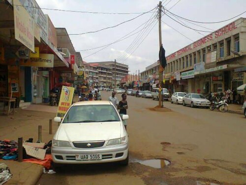
Info about Masaka, Central Region (Uganda)
Masaka region is Central Region, in Uganda (UG).
Other names for Masaka are Masaka, Masaki, Масака, Масаки, latitude is -0.3337900, and its longitude 31.7340900.
With a population of 65.373 occupants, this region timezone is Africa/Kampala (Africa/Kampala_cet).
Masaka is popular for trail running, climbing, islands, fishing, lakes, rivers, art galleries, monuments, running, skateboard, biking, shooting ranges, wildlife, fountains, wellness, abseiling, forest, nature reserves, statues, clubs, docks, museums, mosques, beaches, disco, swimming, canoeing, events, ranches, scenic roads, geological formations, horse trails, gardens, religious sites, ancient ruins, historical sites around Uganda.
.
More details about Masaka in Uganda (UG)
It is the capital of Masaka District.
Masaka has timezone UTC+03:00 (during standard time).
Its altitude above sea level, basically meters above sea level (MASL), should be about 1200 meters. That’s why Masaka is the ideal destination if you and friends love high land to visit in your next travel and want to do mountain rails walking while relaxing to visit a new place.
Masaka things to do and activities: best trip destination for:
Interactive Masaka (Uganda) Map and attractions
Interactive map of Masaka, Central Region Uganda (UG).
