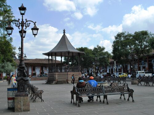
Info about Santa Clara del Cobre, Estado de Michoacán de Ocampo (Mexico)
Santa Clara del Cobre is a city in Estado de Michoacán de Ocampo, in Mexico (MX).
Santa Clara del Cobre names are also Santa Clara de Portugal, Santa Clara del Cobre, Villa Escalante, its latitude is 19.4058000, and longitude is -101.6399800.
In Santa Clara del Cobre are settled 14.359 inhabitants, this area timezone is America/Mexico_City (America/Mexico_City_cet).
In Santa Clara del Cobre you can do cemeteries over Mexico.
.
More details about Santa Clara del Cobre in Mexico (MX)
It has timezone UTC−06:00 (in standard time).
Its dimensions are 487 km2, ideal for people who like medium-sized cities, in our opinion a place that you should visit. If you stay here you save money due to their low housing rates, and this is why you can use Santa Clara del Cobre as basecamp to move across Mexico or Santa Clara del Cobre near cities.
Santa Clara del Cobre height above mean sea level, specifically meters above sea level (M A.S.L.) is around 2200 meters. That is why this is an ideal trip destination if you and your partner love high land to travel to for your next trip and love hiking while on holiday to see a new place.
If you want more information for Santa Clara del Cobre see its official website http://www.santaclaradelcobre.gob.mx/gobierno.
Santa Clara del Cobre things to do and activities: best trip destination for:
Interactive Santa Clara del Cobre (Mexico) Map and attractions
Interactive map of Santa Clara del Cobre, Estado de Michoacán de Ocampo Mexico (MX).
