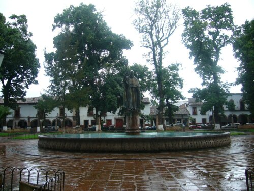
Info about Pátzcuaro, Estado de Michoacán de Ocampo (Mexico)
Pátzcuaro region is Estado de Michoacán de Ocampo, in Mexico (MX).
Other names for Pátzcuaro are Packuaro, Patzcuaro, Pátzcuaro, pats kwa ro, Пацкуаро, ปัตซ์กวาโร, latitude is 19.5159400, and its longitude -101.6088700.
With 93.265 residents, this region timezone is America/Mexico_City (America/Mexico_City_cet).
Pátzcuaro is considered one of the top destinations for cemeteries, islands, mountains, architectural buildings, lakes, festival, countryside, shopping, sailboats, volcanoes, events, farms, valleys, religious sites in Mexico.
.
More details about Pátzcuaro in Mexico (MX)
It is the capital of Pátzcuaro Municipality.
Pátzcuaro has timezone UTC−06:00 (valid in period standard time).
In Pátzcuaro there are 93.265 residents, considering 2015 census. Do You need to dial local numbers? Use 434 if you are calling local phone numbers. It’s postal code is 61600, then if you want to send anything via post from Pátzcuaro this can be done by using the post code as described above.
Its area is 435 square kilometers ideal for travelling to mid-sized cities, definitely a city worth visiting. In Pátzcuaro you save money due to their economic accommodation rates, so for this reason you could have Pátzcuaro as base in order to visit all Mexico and Pátzcuaro near places.
Its meters above sea level, basically meters above sea level (M A.S.L.) is around 2140 meters. That’s why it is the ideal destination if you and your partner like high areas to travel to for your next trip and love sports on top of mountains when you are on vacation abroad.
For other data about Pátzcuaro have a look at their official website http://www.patzcuaro.gob.mx/.
Pátzcuaro things to do and activities: best trip destination for:
Interactive Pátzcuaro (Mexico) Map and attractions
Interactive map of Pátzcuaro, Estado de Michoacán de Ocampo Mexico (MX).

