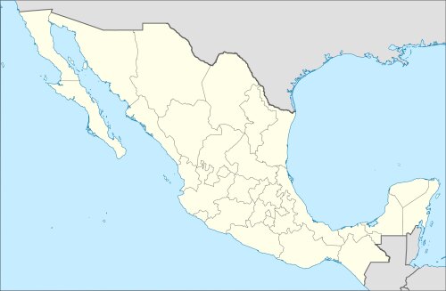
Info about Chapa de Mota, Estado de México (Mexico)
Chapa de Mota is a spot of Estado de México, in Mexico (MX).
It is also called Chapa de Mota, its latitude is 19.8140600, and longitude -99.5261500.
With a population of 21.746 inhabitants, this location timezone is America/Mexico_City (America/Mexico_City_cet).
In Chapa de Mota you can do water parks around Mexico.
.
More details about Chapa de Mota in Mexico (MX)
In Chapa de Mota there are 21.746 inhabitants, considering 2005 latest census. Chapa de Mota zip code is 54350, then if you want to send anything to your friends by post on your travel you can use this zip as described above.
Chapa de Mota height above sea level, called also meters above sea level (M A.S.L.), is under 2644 meters. For this this is the ideal trip destination if you and your partner like high land to see for your next travel and love climbing when you are tripping to see a new place.
If you are searching for detailed information on Chapa de Mota check Chapa de Mota official webpage http://www.chapademota.com.mx/.
Chapa de Mota things to do and activities: best trip destination for:
Interactive Chapa de Mota (Mexico) Map and attractions
Interactive map of Chapa de Mota, Estado de México Mexico (MX).
