Info about Comalapa, Departamento de Chimaltenango (Guatemala)
Comalapa region is Departamento de Chimaltenango, in Guatemala (GT).
Other names for Comalapa are Comalapa, latitude is 14.7408600, and longitude is -90.8876100.
Comalapa has a population of 20.738 occupants, this location timezone is America/Guatemala (America/Guatemala_cet).
Comalapa is popular for architectural buildings in Guatemala.
.
More details about Comalapa in Guatemala (GT)
Comalapa has timezone UTC−06:00 (valid in period standard time).
You want to call local numbers! You can use 502 as local dialing code for local phone numbers.
Comalapa dimensions are 76 square kilometers, so Comalapa is a medium size city, in our opinion a town worth visiting. In Comalapa you save money due to its cheap hotel rates, and this is why you could use Comalapa like your basecamp in order to move across Guatemala or Comalapa near adventures.
Its elevation above mean sea level, called also meters above sea level (M A.S.L.), is over 2104 meters. That’s why this city is a perfect place if you and your partner love tall areas to travel to in your next holiday and love adventure in the nature while on a vacation to visit new places.
Near cities are very friendly places like Tecpán Guatemala, Santa Apolonia, Santa Cruz Balanyá, Zaragoza, San José Poaquil, San Martín Jilotepeque. As those cities are very close you can effortlessly go to those close destinations for new Guatemala adventures.
Comalapa things to do and activities: best trip destination for:
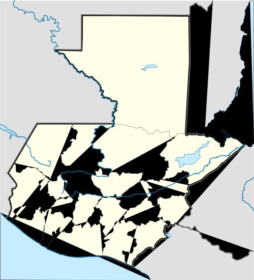
Interactive Comalapa (Guatemala) Map and attractions
Interactive map of Comalapa, Departamento de Chimaltenango Guatemala (GT).
