Info about Chirilagua, (El Salvador)
Also called Chirilagua, its latitude is 13.2202800, and its longitude -88.1386100.
Its population is 6.393 residents, its timezone is America/El_Salvador (America/El_Salvador_cet).
Chirilagua is a popular destination for kayaking, canoeing, swimming, beaches, paddle, shooting ranges, mines, running in El Salvador.
.
More details about Chirilagua in El Salvador (SV)
Its size is 206 km2 so its a medium sized city, definitely a place worth a visit. In Chirilagua you can find cheap accommodations due to their low room prices, so for this reason you can have it like your basecamp to visit all El Salvador and Chirilagua near cities.
Chirilagua meters above sea level, specifically meters above mean sea level (MAMSL), should be about 284 meters. For this reason it is the ideal place when you and family like plain areas to visit for your next vacation.
For extra information on Chirilagua check Chirilagua website http://www.michirilagua.com.
Chirilagua things to do and activities: best trip destination for:
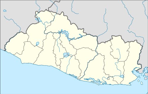
Interactive Chirilagua (El Salvador) Map and attractions
Interactive map of Chirilagua, El Salvador (SV).
