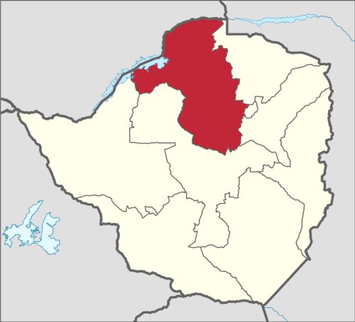
Info about Chirundu, (Zimbabwe)
Alternate names are Chirunda, Chirundo, Chirundu, Chirundu Township, Otto Beit Bridge, latitude is -16.0333300, and its longitude is 28.8500000.
In Chirundu are located 1.911 residents, this place timezone is Africa/Harare (Africa/Harare_cet).
Popular things to do in Chirundu are paddle, canoeing, kayaking, wellness, bridges, fishing, caves, playgrounds, water parks, rivers, scuba diving, diving, hunting, museums around Zimbabwe.
.
More details about Chirundu in Zimbabwe (ZW)
Located in time zone UTC+02:00 (valid in period standard time).
Its meters above mean sea level, basically meters above mean sea level (MAMSL) counts 402 meters. This is why it is an ideal place when you want high land to visit in your next holiday and want to do sports on top of mountains if you are on vacation to visit new places.
Chirundu things to do and activities: best trip destination for:
Interactive Chirundu (Zimbabwe) Map and attractions
Interactive map of Chirundu, Zimbabwe (ZW).
